World’s First Holographic Tactical Display for Detecting Submarines, by Canadian Technology Companies

About Kongsberg Geospatial: Based in Ottawa, Canada, Kongsberg Geospatial creates precision real-time software for mapping, geospatial visualization, and situational awareness. The Company’s products are primarily deployed in solutions for air-traffic control, Command and Control, and air defense.
About Avalon Holographics: Based in St John’s, NL, Avalon Holographics is a Canadian SMB leading the display technology by pioneering development of the world’s first “true” 3D professional holographic displays that revolutionize the way people produce, view and understand visual content.
(Kongsberg Geospatial, 2021).
Applications of Holographic SONAR Display
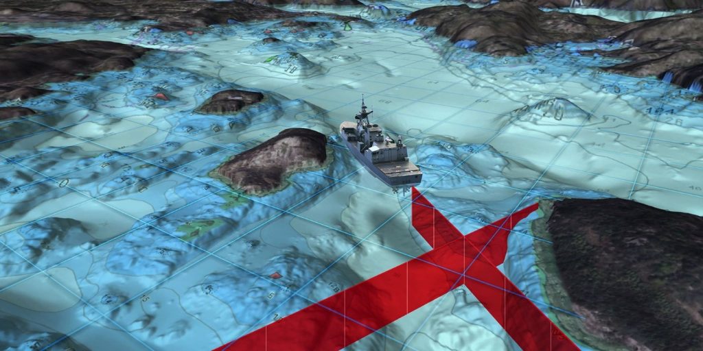
Canadian Department of National Defense IDEaS (Innovation for Defence Excellence and Security) funds and conducts tests for the development of science and technology to increase defence. It is funding the project of developing a holographic SONAR display for submarine warfare, brought together by Kongsberg Geospatial in partnership with Avalon Holographics. Kongsberg’s TerraLens and Avalon’s Raydiance Engine are exploring different holographic situational awareness applications to improve 3D battlespace visualization, GIS and underwater warfare.
In particular, the scope of this project is to develop a holographic tactical display for passive SONAR tracking while reducing the cognitive load on its analysts. This is an upgrade from the “3D displays”, which are in fact just two-dimensional projections of three-dimensional scenes on a flat monitor, often distorted to create an illusion, with limited shared usage.
But, a holographic display, composed of millions of holographic elements or “hogels”, is able to individualize the data while keeping the image static, which provides an excellent ground for sharing 3D information. This shared visualization enables faster joint decision-making for decision-makers and analysts in regards to tactics, operations and strategies.
Moreover, Naval ships locate targets around the “ownship”, which is the platform where the primary sensor is located, with passive SONAR sensors in absence of active SONAR. Passive SONAR sensors help create multiple bearing lines in the quest for the target’s position. That is, the combination of passive SONAR data with 3D bathymetric data will create a more accurate sensor picture and help identify undersea threats.
Contributions of Kongsberg Geospatial and Avalon Holographics
The Holographic SONAR display will consist of three components: a SONAR sensor system, a SONAR map rendering system and the holographic display. Kongsberg Geospatial will be contributing the SONAR map rendering system, which is a software system that maximizes the company’s ISR applications, increases the capability of real-time situational awareness and real-time sensor integration technology. Avalon Holographics will help visualize the processed data with its contribution of holographic display.
Now, for the SONAR sensor system, it will include a towed array, hull-mounted SONAR or even a sonobuoy receiver, located onboard a surface vessel. The operational images required to inhabit the 3D holographic display will be rendered by the SONAR map rendering system containing data from the SONAR sensor system.
Avalon Holographics will be working initially to improve the performance of the display device and software tools while collaborating with Kongsberg on software integration, until November. Kongsberg Geospatial, on the other hand, will be developing and running trials on the system’s usage of multi-sensor operations and Target Motion Analysis (TMA), with the intention to create greater comprehensive integration with the display and a smoother alignment with Avalon’s next-generation display technology.
References:
K. M. P. (2020). VIVIDQ raises $3.1m to accelerate holographic display adoption. Metrology and Quality News – Online Magazine.
Kongsberg Geospatial. (2021). Canadian technology companies create holographic sonar display for hunting submarines. Kongsberg Geospatial.


