Bob Maher: Back to School at COGS
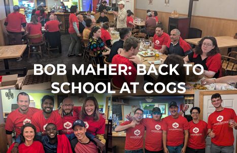
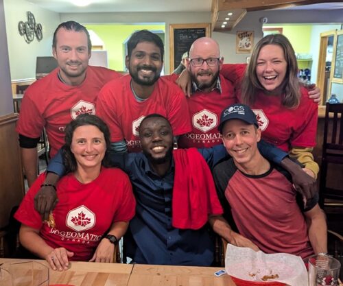
On Friday, GoGeomatics hosted a back-to-school social at COGS (see previous post A Hidden Gem: Harbourville). It included a series of short presentations in the AV room by Tim Webster, Colin MacDonald, Jon Murphy and Ted MacKinnon. The audience was primarily COGS students and a few friends of COGS (e.g. Cliff Drysdale, Simeon Roberts and myself).
The meeting theme was extreme events and climate change; in particular coastal flooding and forest fires. The speakers were forthcoming about the role of Geomatics technology in their work and careers.
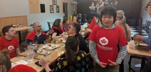
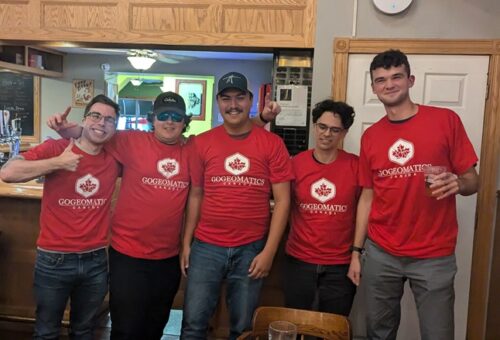
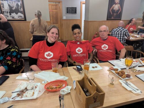
Afterwards, GoGeomatics hosted a social evening at the Capitol Pub in Middleton. This allowed for further interaction across the generations.
The event gave me ‘food for thought’ especially in relation to ‘geographic information’.
Thank you to the Back to School Sponsors in Nova Scotia:
My memories take me back to the 1980s. NSLSI (later COGS) was looking to bring new technology, computers, into land surveying, cartography and planning. Today, we live in a technology-driven world — computers, cell phones and the Internet. In the 1980s we had three departments: Computer Programming, Surveying and Cartography/Planning.
Later, we renamed the institution to the College of Geographic Sciences and added the Applied Geomatics Research Group. Today, the technology drives learning. Many students attend COGS online. thus missing much of the physical geographic context of the local landscape.
Listening to the speakers, I wondered what had happened to ‘geographic information’. We started with geographic information systems (GIS). GIS included access to many sensing platforms and devices: satellites, aircraft, drones, LiDAR, etc.
The next day (Saturday) I received a back door visit in Middleton by a candidate for town council. She explained the challenge of trying to obtain a base map defining her district.
This made me wonder. What has happened to the cartography and planning programs at COGS? How were they serving the citizens?
Over a decade ago I remember promoting the concept of a ‘community information utility’. Where did that go? Today, the only evidence of different districts are the signs in town, as we go into a municipal election.
CONCLUSION
It is tremendous that COGS’ reputation draws students from across the country, and beyond. It is excellent that the graduates have access to modern technology. But, as a society, are we increasing our understanding of the local geography? If candidates for the municipal election have to scramble for current mapping, we clearly do not have a ‘community information utility’. We are missing the opportunity to showcase the history and talents of COGS for the betterment of citizens and groups in the Annapolis Valley and beyond.
How do we bridge that gap?
POSTSCRIPT
I just discovered in the basement, after our move:
“Mapping our Common Ground. A community and green mapping resource guide” (download PDF HERE).


