Geomatics / DEM Specialist
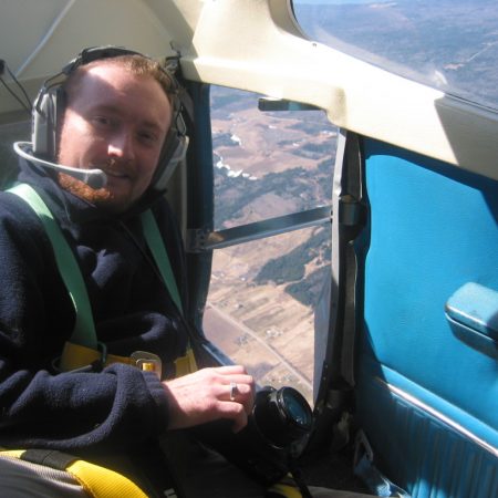
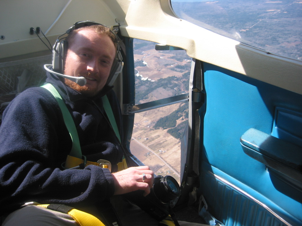
GoGeomatics had a chance to sit down with Greg Druce, a Geomatics Specialist focusing on quality control of DEMs at MDA Corporation. Greg is new to the field, offering views on the attraction of geomatics and finding and developing a career through a nontraditional path. He agreed to discuss his job and career direction going forward.
Join me in welcoming Mr. Druce to geomatics … and GoGeomatics.
What does your company do?
MDA’s solutions capture and process large amounts of data, produce essential information and improve the decision-making and operational performance of business and government organizations worldwide. Its business is focused on information solutions for market sectors which offer strong repeat business potential – namely the financial services and surveillance and intelligence sectors. In addition, the company conducts a broad range of customer-funded advanced technology development aimed at further extending human capability.
What is your role in the company?
I am a “Geomatics Specialist”. I work to ensure digital elevation models (DEMs) are as complete and accurate as possible before they are included in the final data product.
How long have you been working in geomatics?
I have now been working in geomatics for 1.5 years.
What field were you in before you joined your current company?
I was in the finance industry working as a financial consultant. I needed a change in career and an opportunity arose at Intermap where I knew someone in the field, and I found the potential of geomatics more exciting.
Where did you acquire your geomatics skill set?
I acquired my geomatics skills at Intermap, working in quality control. I would ‘QC’ DEMs as well as 3D road vectors. I used RADAR images and aerial photos to ensure that previously drawn road vectors were drawn correctly to all the available remote sensing information.
Describe an average day of work in your current position.
During an average day, I work on a DEM tile that is 1° by 1°. I first remove depressions and spikes – bad and incomplete areas of data – and any other parts of the tile that require closer inspection. I then create water vectors for all rivers, lakes and oceans. I also ensure that all lakes and oceans are set to one elevation and that all rivers have the correct direction and stepped elevation. Finally, I match the edges of any previously completed, neighbouring 1° by 1° tiles.
What skill do you think is most important for you to build for a future in geomatics?
I think mastering common GIS software packages is important. Also, becoming an expert in RADAR (INSAR and LIDAR) analysis will also contribute toward building my career.
Where do you see your career taking you in five years?
I hope to be a Team Lead for MDA in 5 years, and in the process of acquiring the software and engineering skills and knowledge needed to become a project manager of remote sensing data products. Regardless of whether or not I am with MDA, I hope to continue working in the remote sensing area of geomatics.
What draws you to the field of geomatics?
I think the geomatics field is very unique in that there are so many different career opportunities and applications. It is a growing industry and within the next ten to fifteen years every major company (that hasn’t already done so) will need to have some form of geographic business intelligence within their organizational structure. These things appeal to me because I enjoy being a part of an innovative field and technology.
Do you have a favourite ‘entertainment’ application of geomatics technology?
Whether it is looking for a location in Google Earth, RADAR images, or even a topographic map, I get a lot of pleasure from viewing our planet and understanding new locations from afar.
Once again we would like to thank Mr. Druce for taking the time to share with us and encourage you to take a closer look at MDA Corporation. We would also remind you that GoGeomatics is your best place to help you build and network your own professional Geomatics career and encourage you to get involved in the discussions on the GoGeomatics Forum.
If you or someone you know is involved in Geomatics and would like to share your experiences with us then we would love for you to contact us.


