


One of the most versatile and powerful sensor systems, becoming standard kit for surveyors and reality capture practitioners, is Handheld SLAM. However, there have been few practical guides published. This one is timely, comprehensive, and […]

The Country You Cannot Watch from the Ground In March 2026, the Canadian government announced a $200 million investment in core infrastructure for a Canadian-owned spaceport, along with other major new space-related capabilities and initiatives. […]
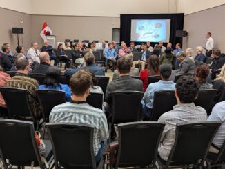
Canada’s geospatial environment is one of the most complex in the world, spanning provinces, territories, Indigenous lands, critical infrastructure systems, Arctic regions, inland waters, and multiple levels of government. Making geospatial data work seamlessly across […]
Be the first to comment