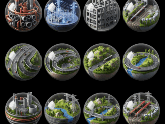
BIM & GIS
Mini-Worlds for Infrastructure Design, Construction, and Operation
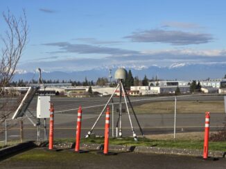
Proven in other industries, the utility of digitally mirrored infrastructure is gaining traction. On the surface, the lackluster and slow adoption in some sectors belies the profound and rapid progress made in other areas; you […]