Newly conserved rare map provides unique snapshot of life in 19th century Ontario
McMaster University Library’s Preservation Lab conservators using new, experimental techniques to combat the challenges of wood pulp paper map conservation and restore a large-scale 1859 wall map of the County of Peel. The finished result of the conservation project is a legible, structurally sound historical artifact that can now be digitized and used by scholars and the public.
The conservation of the County Map of Peel is a culturally significant project that will serve the public and scholars for years to come and the map conservation techniques developed can be used for future preservation projects.
Underwater acoustic glider for detecting North Atlantic right whales and slowing boats down
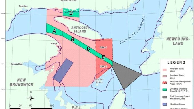
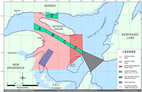
Partnering with the University of New Brunswick, Transport Canada is deploying an underwater acoustic glider and a drone to help detect the endangered North Atlantic right whales.
Transport Canada reacted to the movement patterns of the whales and brought down the speed limits within the management areas for ensuring the safety and security of mariners and whales.

Canadian satellites to help combat threat of collisions in Earth orbit
https://www.cbc.ca/news/technology/northstar-satellites-1.5782085
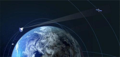
Montreal-based NorthStar Earth & Space announced its plans to launch the first commercial constellation to reduce the threat of the collision of 20,000-plus satellites and pieces of debris orbiting Earth in space in 2022.
The new NorthStar satellites equipped with telescopes will bring the accuracy of tracking space debris within metres. It greatly improves the ability of ground-based telescopes to track potentially dangerous space debris and satellites.

Terramera’s New Plan for Global Centre for Regenerative Agriculture, Powered by Microsoft Azure
Vancouver headquartered company, Terramera, announced $830 million plan to create the world’s largest regenerative agriculture initiative in Canada. Powered by Microsoft Azure, Terramera introduced a proposal for the company’s Global Centre for Regenerative Agriculture (Global Centre) fusing science, nature and artificial intelligence to transform the food systems.

Ford Motor Company and University of Toronto join Drone Delivery Canada in research project
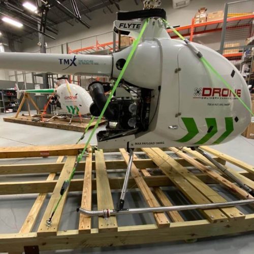
Drone Delivery Canada announces that it has been invited to participate in a research endeavour with the University of Toronto Institute of Aerospace Studies and Ford Motor Company. They will cooperate and work jointly towards testing an automated drone as it tracks and lands on a moving ground vehicle within the flight arena.
This work could greatly expand the ability of quadrotor drones in infrastructure inspection, search and rescue in remote environments, tracking moving objects for security, and delivering light-weight packages.

Driverless shuttle takes its road test in Ottawa
https://www.cbc.ca/news/canada/ottawa/driverless-shuttle-road-test-1.5786020
Under the Ontario Automated Vehicle Testing Program, this project overseen by Area X.O., a venture led by Invest Ottawa develops a low-speed, battery-powered driverless shuttle which is taking its road test recently. The miniature OC Transpo bus also has an operator on board to take over if needed.
During the 10-day trial, the shuttle, an EZ10 model developed by EasyMile, will follow along a 1.5-kilometre, pre-programmed route with four stops on the Tunney’s Pasture campus, including the LRT station.


Be the first to comment