Cet article est aussi disponible en français ici.
It’s GeoWeek!
The third week of November is Geography Awareness Week (#GeoWeek). Since 1999, the Wednesday of GeoWeek has been formally known as “GIS Day”. It’s all part of a global campaign to raise awareness of the importance of geography and geospatial data. One of the main reasons that the Canada Centre for Mapping and Earth Observation (CCMEO) supports GeoWeek is to build capacity in the geospatial sector by attracting more people into jobs here. Did you know that a hot trend right now is the growing number of careers related to Big Data, Open Data, and Space Data? Finding people to fill these jobs is sometimes a real challenge.
We are almost always looking to find talent
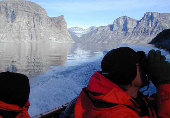
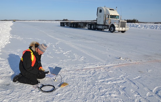
In this branch, we focus on geospatial data, information, and knowledge. About 85% of our 240 full-time positions are related to science and technology (S&T). This means that we are almost always looking to find talent to fill specific roles as researchers, scientists, analysts, and technical specialists. CCMEO’s main offices are located in Ottawa (ON) and Sherbrooke (QC). We also manage a network of ground satellite stations in Prince Albert (SK), Inuvik (NT), and Gatineau (QC). We also do field work at locations across Canada.
CCMEO is made up of the Canada Centre for Remote Sensing, the Canadian Geospatial Data Infrastructure, Federal Geospatial Platform, and GeoBase divisions, and a Business and Program Integrity Office. And like I said, we are always looking for qualified talent!

People often ask me how we go about recruiting here so I’m taking this opportunity to share the answer!
CCMEO is part of the Government of Canada, so we follow the hiring policies of the public service. The hiring process usually begins with the posting of a job advertisement on Canada.ca/GC-jobs. Applicants are invited to go there to create a profile, post their CVs, and apply to job opportunities.
CCMEO targets university and college students
Given the nature of our work, CCMEO targets university and college students to build capacity of the overall geospatial sector. We provide CO-OP internships and placements, often under the Federal Student Work Experience Program (FSWEP) or Research Affiliates Program (RAP) to guide students through a structured professional development process. It’s sometimes difficult to find qualified workers so we use these options to help make sure that new employees get exposure to operational level work as well as the more scientific requirements of S&T positions here. These staffing programs also afford us the possibility of bridging students into public service positions once they graduate from their respective programs. This works well in helping us recruit young professionals into positions would otherwise not be filled. It’s a win-win. For example, over the past six years, CCMEO’s GeoBase division alone has welcomed 17 CO-OP and FSWEP interns from various educational institutions, such as Université de Sherbrooke, Université Laval, and Cégep Limoilou. Many of them have decided to stay with CCMEO to begin their full-time career!

Interchange Canada
We also engage specialists and experienced professionals through programs such as Interchange Canada. Interchange Canada facilitates temporary assignments of people in and out of government departments and agencies such as CCMEO. It’s a program designed to support knowledge and expertise sharing, and improve networks between the core public administration and other business sectors.
For more information, visit Canada.ca/GC-Jobs or contact us.


Be the first to comment