
Reality Capture & Lidar
Top Innovation: An Impactful Decade for Geomatics Tech
It wasn’t so much just a decade of cool new shiny equipment and software—there’s been much more going on in the background. The “coolest new gear” is often just the visible fruit of deeper innovation […]
Community
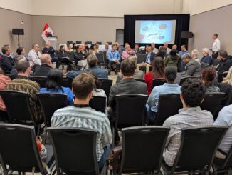
OGC Canada Forum at GeoIgnite 2026 to Advance Canada’s Collaborative Geospatial Strategy
Canada’s geospatial environment is one of the most complex in the world, spanning provinces, territories, Indigenous lands, critical infrastructure systems, Arctic regions, inland waters, and multiple levels of government. Making geospatial data work seamlessly across […]

Technology
RTK and RTN – Which is Better? Both…
Respective advantages and disadvantages are conditional. Knowing what those conditions are is the key to leveraging one or the other—or both—to optimize results and productivity for specific types of work. The answer to questions, posed […]
Be the first to comment