
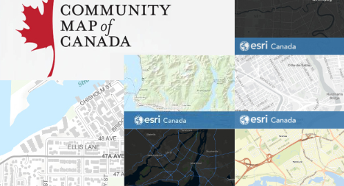
The Community Map of Canada is a basemap of Canada built from authoritative data, collected closest to source and updated daily. Seamlessly created to one common specification and compliant with international standards, it provides unrestricted access to community maps and imagery across the country. It proudly calls itself For the Community, By the Community
For years, ArcGIS users have helped to enhance the quality of Esri maps by sharing their data with Esri through their Community Maps program. With the new Community Maps Editor app, users can create and edit detailed features for special areas of interest within their community. These special areas of interest (AOIs) might be iconic parks, recreation areas, sports stadiums, school campuses, or other places that are prominent within the community.
I recently attended a webinar titled “Big wins for small GIS Teams with Community Maps Canada” which intrigued me to gain more information about how Canada’s maps are enhanced via various communities.
So, on behalf of GoGeomatics, I scheduled an informative Q&A session with Alia Kotb, who is the Community Maps Advocate for Esri Canada. Check out our conversation to know more!
We are thankful to Alia Kotb, for taking out time from her busy schedule, for an interesting discussion about Community Maps in detail.


Be the first to comment