3D visualizations

International Geospatial Digest

International Geospatial Digest March 27th, 2023

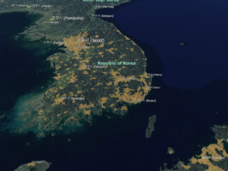
National Geographic Society and Utrecht University Launch World Water Map.  How to use free satellite data to monitor natural disasters…

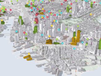
Covering New Ground with Digital Twins

Following the rapid advance and applications of geospatial technology has always been a fundamental aspect of the GoGeomatics community. As…

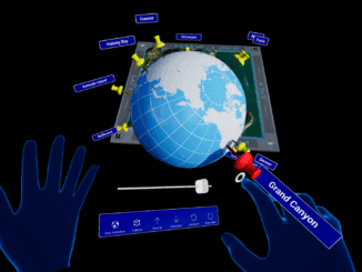
Project Anywhere – Cesium collaboration with Unreal Engine, Microsoft and NVIDIA

Cesium started off in 2011, with a team of developers at an aerospace software company to create an application to…

GNOSIS – A New Geomatics Software Suite

Creating a new GIS from scratch is a tough undertaking. It involves a lot of innovation. Ecere, a Canadian company…

Canadian Geomatics Innovation: Ecere Develops a Next Generation GIS

Not many companies undertake the ambitious goal of creating a new geospatial software suite from scratch. Ecere, a Canadian company…

Elevation Web Services: Limitations and Prospects

Elevation Web Services: Limitations and Prospects Elevation data is necessary for a wide range of geospatial applications such as creating…