Community
The Geospatial Community is Thriving in Victoria BC: Our Group Leader Profiles
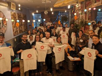
GoGeomatics free group networking events are open to everyone from all areas of geomatics, including business owners, professionals, students, and others. The purpose of the Socials is to build a thriving geospatial community through networking […]