Technology
NRCan Dives into the Era of GeoAI-generated Spatial Data
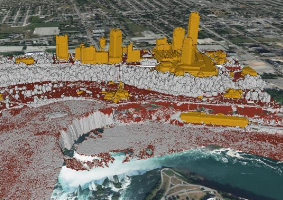
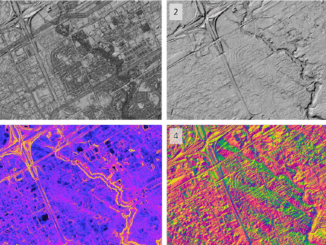
What is GeoAI? GeoAI is an abbreviation for Geographic Information Systems and Artificial Intelligence, representing a powerful amalgamation of spatial data, smart algorithms, and automation. The continual growth of satellite technology helps to generate high-resolution, […]