BIM & GIS
Inside the C-Suite Conversation Shaping Canada’s Digital and Geospatial Future
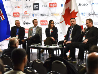
As Canada’s geomatics and Earth Observation leaders gathered in Calgary for the C-Suite Panel at GoGeomatics Expo 2025, the timing couldn’t have been more fitting. The session had been planned around a clear signal from […]