covid-19 mapping
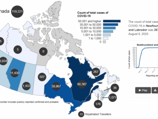
Canadian Geospatial Briefing August 2nd: Honouring Alex Trebek with new Grant Program; Interactive Map Looking at Marine Shipping Safety in Canada; New Canadian Wildfire App; Looking at Vulnerability from Heat Waves in Vancouver and Highlighting Importance of Green Spaces; A Collection of Canadian COVID-19 Dashboards
Alex Trebek honoured with Geographical Society grant program for emerging explorers The National Geographic Society in the United States and…
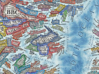
International Geospatial Briefing June 14th, 2021: Study of Australian Land Ownership; Drone thermal mapping for emergency response; Combination of Digital Twins and GIS; The map of the online world; Vaccine distributions across the world
Australian Land Ownership The ownership of Australian land can be dated back to 60,000 years ago, however, the modern legal…
Your Canadian Geospatial Briefing for Sept 22: First woman to head CSA; Polar Bears’ GPS Collars Reveal Hidden Histories; Data Crisis in Covid-19; What Would The Impact of the Beirut Explosion Look Like on Maps of Canadian Cities; Should You Get a GIS Certification?
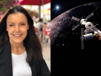
Lisa Campbell becomes the first woman to head the Canadian Space Agency – CBC The Government of Canada announced earlier…
Your International Geospatial Briefing for September 14th: Where the GISP’s are; China’s new Earth Observation Sattelite; COVID-19 push to aerial surveying; Interdisciplinary data-driven approach; Interactive historic map that shows your hometown’s location 750 million years ago
A Look at where the GISPs are Dr Dapeng Li, an assistant professor at South Dakota State University, and a…
Your Canadian Geospatial Briefing for August 10th: Initiatives help youth address climate change; Mapping mask-mandatory businesses; Vancouver Island First Nations roll out tsunami mapping; COVID-19 mapping resource
Groundbreaking initiatives help Canadian youth address climate change Two Canadian charities are taking a stand and inspiring action against climate…
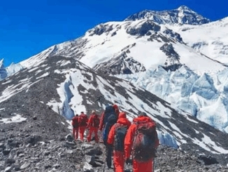
Your International Geospatial Briefing for June 8th: NZ Lego Map; Mapping COVID-19 Stories; Monitoring Lakes with Remote Sensing; Chinese Surveyors Reach Everest; Geospatial Analysis of COVID-19
Data analyst’s incredible NZ Lego map made with 3600 bricks German Alex Waleczek, who lives in New Zealand, made an…
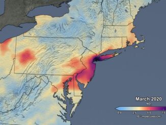
Mapping air pollution: a momentary shift due to COVID-19
COVID-19 and the resulting economic shutdowns and physical distancing measures have presented us with a peek at what it takes…
Your International Geospatial Briefing for May 11th: Geospatial paradigm shift; Coronavirus; GIS mapping; Geo predictions
The next paradigm shift in geospatial Geospatial solutions have changed the construction and surveying industry. This is evident by the…