DEM

Tim Webster youtube talk

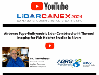
Airborne Topo-Bathymetric Lidar Combined with Thermal Imaging for Fish Habitat Studies in Rivers from LiDAR CANEX 2024

Dr. Timothy Webster, a Research Scientist at the Applied Geomatics Research Group (AGRG) based at Nova Scotia Community College’s Annapolis…

Ten Years Later Interview with Wendy MacIsaac

Ten Years Later: Interview with Wendy MacIsaac one of Canada’s Top Surveyors

Ten years ago, GoGeomatics interviewed Wendy MacIsaac of Midwest Surveys Inc. in Calgary, Alberta, about her career and being a…

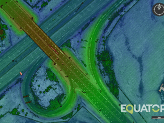
LiDAR scan of highway in Equator

Are you still sourcing topographic data the old way?

New tool empowers engineers to save thousands of dollars on surveying costs, win more work, and slash the time it…

GeoIgnite Talk On YouTube: The National Canadian Elevation Data Strategy Update from NRCan

Natural Resources Canada is hard at work on the National Elevation Data Strategy, which aims to provide Canadians with an…

Geoignite 2020 Video: Maxar: Elevation suite – an overview of elevation products

Ryan Hamilton & John Roos from Maxar Technologies presented their earth observation satellites and new advances in photogrammetry. They allow high levels of detail in 3D models that previously only airborne sensors could provide.

NATIONAL ELEVATION DATA STRATEGY UPDATE

July 2020 STATUS OF THE LIDAR ACQUISITIONS The National Elevation Data Strategy team of the Canadian Centre for Mapping and…

CANADA’S NATIONAL ELEVATION DATA STRATEGY UPDATE

November 2019 HRDEM FOR THE ENTIRE CANADIAN ARCTIC! In August, Natural Resources Canada (NRCan) made available a new release of the High…

Canada’s National Elevation Data Strategy Updates from NRCan

New Data Generated from LiDAR! Natural Resources Canada (NRCan) is proud to announce a new release of the product High…

Careers In Land Surveying

Land surveying is an exciting Geomatics Career Field that is in high demand and often over looked by many young people…

Elevation Differences

Grand Lake Meadows New Brunswick: Accuracy Comparison of Elevation Datasets

Grand Lake Meadows (GLM), the largest wetland in New Brunswick. GLM is a historically and ecologically significant area which is…

A Canadian Geographer’s Notes from Nunavut

For the last five years, I have annually had the opportunity to spend time in Iqaluit, Canada’s fastest growing community in Canada’s fastest growing territory or province. On arrival, I check out the selection of new books at Arctic Ventures and the screening of new movies about the North. This year, there was the chance to see John Walker’s Passage and to buy a copy of Darrel Varga’s book of the same name in the Canadian Cinema series.

URISA BC

URISA BC – Engage: Make It So With GIS in Community Engagement

What: Engage: Make It So With GIS in Community Engagement Where: Vancouver, BC When: Thursday, 15 June 2017 from 8:00…

1 2 3 30