digital elevation model
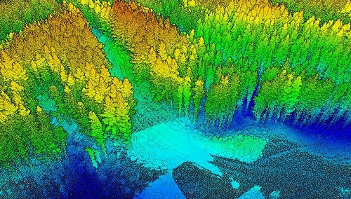
A Japanese Perspective: LiDAR forest data for resource analysis in Japan
The GIS & LiDAR Specialist I am Kei, a passionate GIS & LiDAR Specialist with over 6 years’ experience in…
Old Cities, New Discoveries: How LiDAR is changing Archeological Surveys
LiDAR (Light Detection and Ranging) is not a new technology; it has been around since the early 1960’s when a…
Geoignite 2020 Video: Maxar: Elevation suite – an overview of elevation products
Ryan Hamilton & John Roos from Maxar Technologies presented their earth observation satellites and new advances in photogrammetry. They allow high levels of detail in 3D models that previously only airborne sensors could provide.
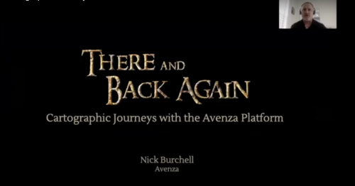
GeoIgnite 2020 Video: Cartographic Journeys with the Avenza Platform ~ Nick Burchell – Director- Avenza
Nick Burchell’s GeoIgnite talk ‘Cartographic Journeys with the Avenza Platform’ was one of the best graphically designed, creative, engaging, and well organised presentations at GeoIgnite 2020.
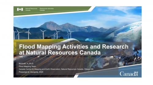
GeoIgnite 2020: Flood mapping activities & research at Natural Resources Canada
The 2020 Geolgnite conference was put online and brought the Canadian geospatial sector together for some important updates to ongoing…
GeoIgnite 2020 Video : Hydrospatial – Understanding Coastal Flooding, Detection & Response for Tsunami
The GeoIgnite annual conference 2020 was power packed with discussions and presentations about compelling technologies, impressive scientific advancements and upcoming…
Canada’s National Elevation Data Strategy Updates from NRCan
New Data Generated from LiDAR! Natural Resources Canada (NRCan) is proud to announce a new release of the product High…


