extreme weather
Canadian Geospatial Digest for November 11th, 2024
Solar Solutions Developed by the University of Waterloo for Safer Airports Real-time provincial road traveler information is part of the…
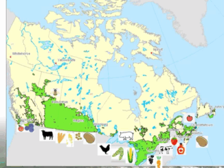
The NAIS Studies Weather Extremes to Understand Impact on Food Supply
Monitoring Extreme Weather for the Sake of Canada’s Crops The GeoIgnite 2022, Winter Geo, Canada’s National Geospatial Conference, saw Catherine…
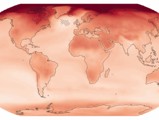
New interactive atlas paints a picture of how climate change will impact the globe and what this means for Canada
The latest Intergovernmental Panel on Climate Change (IPCC) sixth assessment report warns about the future of our planet under the…
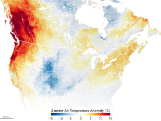
Canadian Geospatial Briefing July 5, 2021: Geospatial Applications for Indigenous Issues; Canadian Company Teledyne CARIS is Mapping the Seafloor; How SBEO is Helping Track Extreme Weather Events from Space; and Agriculture and Agri-Food Canada’s New Drought Forecast Tool
New Applications are Bringing Attention to Important Indigenous Issues June 2021 was a National Indigenous History Month like no other.…
Canadian Geospatial Briefing March 1st – AI helping response to extreme weather; Inukshuk Geomatics celebrating 20 years; Telesat basing Lightspeed broadband operations in Gatineau; CATALYST Microservices – cloud-based earth observation processing; Canadian Coast Guard testing new UAV; GeoIgnite Career Fair April 14th
Artificial Intelligence helping respond to extreme weather events Researchers at the University of McGill are finding new ways to harvest…
Your International Geospatial Briefing for June 22nd: Google Maps Platform; Global Partnership on Artificial Intelligence; Geospatial Data Strengthens Electrical Grids; Entire Roman City Mapped Using GPR
Google Maps Platform gaming solution now available to everyone Google first launched a gaming solution to bring real-world games to…