Newsmakers & Press Releases
GeoVerra makes a significant investment in new equipment, providing the most up-to-date technology for its clients.
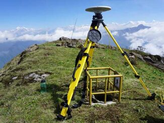
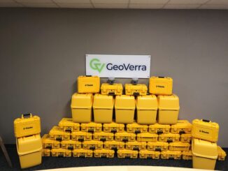
Edmonton, AB (November 16, 2020) – At the beginning of November, GeoVerra took possession of over 100 pieces of new Trimble equipment from Cansel, one of the company’s surveying equipment providers. The purchase, which was the […]