Google Earth Engine

The Public Good Program is Back at GoGeomatics Expo

The Geomatics for the Public Good program at the National Expo highlights how geomatics technology is being harnessed across federal,…

Earth Day Digest

Geospatial Digest for Earth Day April 22nd, 2024

Water Pollution in Ireland Esri Ireland has teamed up with the Dublin Urban Rivers LIFE (DURL) Project to tackle water…

Carleton’s Offers Summer Geospatial Training Courses Online

This summer, Carleton University’s Faculty of Arts and Social Sciences and the Department of Geography and Environmental Studies has an exciting…

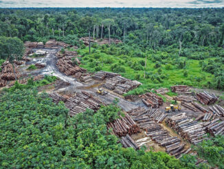
How Remote Sensing Applications Will Help Put a Price on Carbon

Quantifying our Resources Advances in remote sensing are pushing forward our abilities to quantify natural resources. As satellites improve, offering…

Google Earth Engine – What is a Data Cube and Why Canadians Should Care

What is a data cube and how is it used for big data analytics?  How does a data cube work…

Top Ten Climate Change Maps and GIS Applications

Awareness for climate change has been steadily increasing ever since the Green Revolution in the 1960s. There is a plethora…