Technology
Your Canadian Geospatial Briefing for June 29th: New tech against wildfires; Bathymetric Lidar mapping; COVID-19 effect Heat maps; Eastern Canada DOT Power Platform; Tim Kopra as Vice President, Robotics and Space Operations of MDA
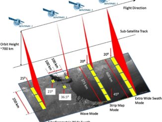
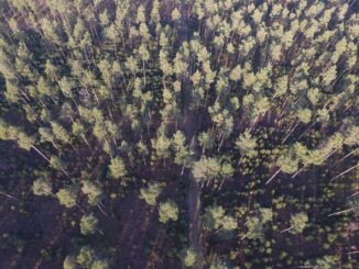
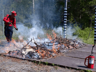
Scientists armed with new tech and cool gadgets face off against wildfires More extreme weather each spring makes wildfires a growing threat. Technology plays a crucial role in the fight against the threat. A researcher […]