Newsmakers & Press Releases
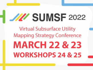
Announcing Subsurface Utility Mapping Strategy Forum (SUMSF), Mar 22-23, 2022
The Subsurface Utility Mapping Strategy Forum (SUMSF), Mar 22-23, 2022 is a virtual conference that brings together individuals and organizations to share information about and contribute to improving the mapping of underground infrastructure. This is […]