Community
It’s a Wrap: Lidar CANEX Extends a Deep Thank You to Sponsors, Speakers and Participants
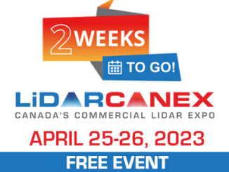
Lidar CANEX is a wrap, and was an outstanding success. Lidar CANEX, Canada’s Commercial Lidar Expo, was held on April 25, 2023, with workshops following on April 26. This conference was a virtual B2B event […]