metadata

The Importance of Reliable, Accurate, and Timely Open and Close Metadata for POIs

This was republished from an original post on safegraph.com: The Importance of Reliable, Accurate, and Timely Open and Close Metadata…

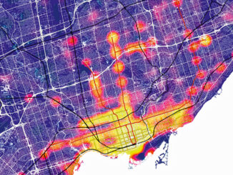
Accuracy and Precision [Part II]: Identify GIS Data Inconsistency: Examples From Toronto’s Open Data Portal

This article is the second part of the accuracy and precision series, which discusses data characteristics, examples of data inconsistency…

Geospatial Metadata: The Ties That Bind- Tobias Spears, Head of the Ocean Data & Information Section at Fisheries & Oceans Canada – GeoIgnite Talk on YouTube

The Government of Canada and organizations such as the UN recognize the critical role of standards in geographic information and…

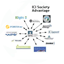
The Integrated Cadastral Information (ICI) Society and ParcelMap BC

This is the first of two articles on the release of ParcelMap BC Data, which we see as a significant…

Open Geospatial Consortium adopts the OGC SensorThings API as an official standard

The Open Geospatial Consortium (OGC®) has adopted SensorThings API Part 1: Sensing as an official standard. The OGC SensorThings API…

East View Secures New Partnership Agreement with Valtus

MINNEAPOLIS – March 1, 2016 – East View Geospatial is excited to announce an agreement with Valtus Imagery Services, part of…

Quebec Launches new FOSS4G GIS called IGO

IGO (for Open GIS Infrastructure) is a Free Open Source Software for Geospatial (FOSS4G) developed by organisations in the government…

Open Data Portals and Geomatics: The Polar Data Catalogue

The growing interest in providing open data access has long been integrated into the field of Geomatics. However, the use…

Phase One Industrial and SimActive, Inc. Announce Integrated Software Solution

COPENHAGEN and MONTREAL April 22, 2015 –Phase One Industrial, a leading manufacturer and provider of medium format aerial and industrial…

A Geomatics Sector that Spatially Enables a Geospatial Community – A Team Canada Perspective

by Ed Kennedy and Evert Kenk. Is there value in formalizing definitions for both the Geomatics Sector and Geospatial Community…