natural

UBC Unveils New Masters of Geomatics for Environmental Management

The UBC Faculty of Forestry is excited to announce that the official approval of the Master of Geomatics for Environmental Management…

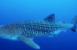
Marine Geomatics Primer: Using UUVs to Take Flight Underwater

Unmanned Underwater Vehicles One of the most interesting things to happen in regards to marine geomatics technology has been the…

Canadian Geomatics Innovation: Ecere Develops a Next Generation GIS

Not many companies undertake the ambitious goal of creating a new geospatial software suite from scratch. Ecere, a Canadian company…

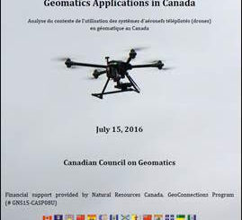
Operational Use of Remotely Piloted Aircraft System (RPAS) for Geomatics Applications

Recently, I reviewed a report by the Canadian Council of Geomatics on the use of Remotely Piloted Aircraft Systems (RPAS)…

Easy Access to Data: The CGDI Initiative

The Canadian Geospatial Data Infrastructure (CGDI) is an initiative of Natural Resources Canada that began in 2001. The CGDI does…

Receiving Station Inuvik geomatics

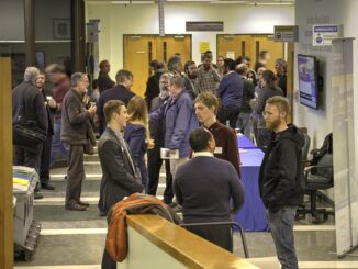
CCRS in Ottawa: Big Geospatial Data Analytics Workshop

Almost a year ago a needs & requirement assessment was conducted to gather information on the potential development of a…

Altus Geomatics’ Contributions to Fallsview Construction Helped to Create World-Class Canadian Casino

When construction began on Niagara Fallsview Casino Resort in 2001, the spectacular natural surroundings belied a particularly difficult problem for…

CCMEO: GeoConnections Funding Geomatics Projects for 2016-2018

For this announcement, GeoConnections is focusing funding towards projects that address the following themes:     -Innovative adoption and further development…

Fall Reading in Canada: landscape, language, geography

Last week, I picked up a copy of Robert MacFarlane’s ‘Landmarks’. I had read all of his previous works and…

50 Years a Geographer: My Top Ten books about Geography

In celebration of Geography Week, it seemed like a good idea to issue a challenge: list the top ten books…

Conference: Where Geomatics Meets GeoScience

With now only one month to go until the 2nd Virtual Geoscience Conference (VGC 2016) takes place in Bergen, Norway,…

Airobotics Selects SimActive’s Photogrammetry Software for its Automated Industrial Drone Solution

Montreal, Canada, August 30th, 2016 – SimActive Inc., a world-leading developer of photogrammetry software, is pleased to announce that Airobotics…