navigation
Teledyne Optech introduces low-cost, automated airborne surveying at GEOINT 2016
Teledyne Optech is pleased to announce that it will showcase its latest airborne systems including the autonomous Optech Eclipse at…
Teledyne to Acquire CARIS
Teledyne Technologies Incorporated (NYSE:TDY) (“Teledyne”) and CARIS jointly announced that the CARIS business and its international affiliates (collectively, “CARIS”) have…
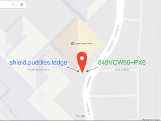
Location Encoding Systems – Could geographic coordinates be replaced and at what cost?
Geocoding is the process of converting a street address into a physical location that can be described with a pair…
Presagis Showcases New Modeling and Simulation Software Suite at I/ITSEC 2015
Unmanned Aerial Systems Border Surveillance demo reveals the realism, power and versatility of Presagis’ M&S Suite 15 MONTREAL, CANADA–(Marketwired –…
Turkey VS Russia: which map do you believe?
This week Turkish F-16s took out a Russian military jet along the Turkish-Syrian border. Turkey is a NATO member and…
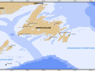
Geomatics: Discovering history in Canada’s Arctic waters
This article was reprinted with permission from the Ontario Professional Surveyor, Volume 56, No. 3, Summer 2015 By Theresa Nicholsi,…
DigitalGlobe Expands Partnership with Mapbox to Provide Access to 30 cm Imagery Basemaps
DigitalGlobe, Inc. (NYSE: DGI), a leading global provider of commercial high-resolution earth observation and advanced geospatial solutions, today announced an…
OGC Seeks Sponsors for FutureCities Pilot
The Open Geospatial Consortium (OGC®) in collaboration with buildingSMART International (bSI) invites sponsorship in a pilot project to help cities…
GPS Galileo taking flight: ten satellites now in orbit
Europe’s own satellite navigation system has come a step nearer to completion, with Galileo 9 and 10 which lifted off…
2005-2015: Ten Years with Google Maps
In February 2005, Google Maps was launched as a desktop web mapping service. A few months later, in June 2005,…
UAV-g 2015 Conference: sUAS for Geomatics
The third international conference on Unmanned Aerial Vehicles in Geomatics (UAV-g 2015) is coming to Canada later this summer for…
GGE Adjunct Professor and Colleagues Win Best Paper Award at International Meeting
Dr. Attila Komjathy, a principal investigator at NASA’s Jet Propulsion Laboratory and adjunct professor in the Department of Geodesy and…