Technology
Video: How We Measure Glaciers (Byte-Sized Science)
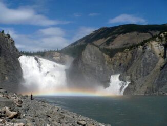
Canada’s landmass and climate supports approximately 20% of the Earth’s glacier ice volume excluding the Antarctic and Greenland ice sheets. Outside of the ice sheets of Antarctica and Greenland, Canada has more glacier coverage in […]