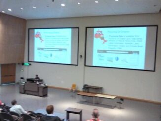
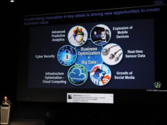
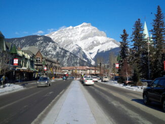
Open data
The Top Canadian Geomatics Stories of October 2013
With October at a close, we want to take the opportunity to round up the stories most significant to our community this past month. Here are the top Canadian Geomatics Stories of October 2013: Surveyors […]
The Evolution of Canadian Data Collection and Distribution
One thing I am sure that almost anybody in geomatics would agree with is that major components of any geospatial projects is the data and, like most things in our society, tend to evolve over […]
The Modern Metropolis & the Role of Geomatics: Toronto City Age Conference Review
On Thursday, May 16, 2013 and the following Friday in Toronto, I had the privilege of attending a conference on the development of urban centres and their current and growing issues of the future. The […]
NRCan, GeoConnections, CGDI, & the Canadian Geomatics Round Table
GoGeomatics Canada got in touch with Natural Resources Canada (NRCan) in order to ask them about all the most recent goings on over there on Booth Street in Ottawa. Michelle Viau, the Communications Advisor in […]
Open Gov/Data Needs Collaborative Common Spaces
If you want to learn about your customers, you gotta leave the office.. regularly. It’s no different for government who are increasingly told to find better ways to engage their constituents. In the geomatics business […]
Open Source Geomatics Software & Geomatics Careers
GoGeomatics had a chance to talk with Teresa Baldwin the Community Manager for FOSSLC, an open source based, not-for-profit group. […]
The Ottawa Tree Canopy Cover Mapping Project
The City of Ottawa Official Plan set a target of 30% tree canopy cover for the entire city. To the author’s knowledge there is no information on the amount of tree canopy for the entire […]
