Remote Sensing QGIS: Semi-Automatic-Classification Plugin (SCP)
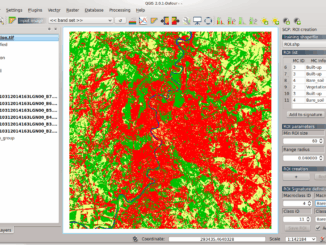
Semi-Automatic Classification Plugin Today I’m going to take a quick look at one of the remote sensing plugins for QGIS. Let’s have a look at what I think is one of the more useful […]

Semi-Automatic Classification Plugin Today I’m going to take a quick look at one of the remote sensing plugins for QGIS. Let’s have a look at what I think is one of the more useful […]
This is the first of two articles on the release of ParcelMap BC Data, which we see as a significant event in the movement towards Open GIS Data in Canada. This month we’ll cover the […]
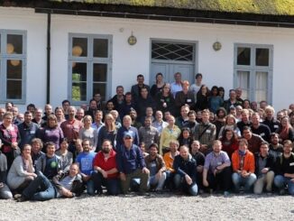
In today’s geomatics society, ArcGIS, developed by Esri, is a giant and dominates the GIS software market. However, there are some other great and powerful GIS software applications. QGIS is a typical GIS application among […]
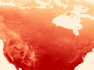
There has never been a time in the history of GIS when so much free, high quality data has been available. As an example, the WorldClim site (http://www.worldclim.org/) offers temperature raster data, on a global […]

The Urban and Regional Information Systems Association (URISA), in partnership with its Ontario, Alberta and British Columbia Chapters, is pleased to share the details of GIS-Pro 2016: URISA’s 54th Annual Conference. The event will take […]
As the 2016 United States presidential election careens towards its conclusion in November, GIS plays a prominent role in both planning political strategy and in describing the results of the contest. Media outlets create maps and […]

Of all the pleasant events that happen in spring, crow attacks rank at the bottom of the pile. Crows become aggressive as the fledgling crows hatch, and attack anything that passes near the nest – […]

One of the passions of modern day information technologists is to convert the past to digital form and to put it on display. To this end the City of Vancouver recently completed a large project […]