quality assurance

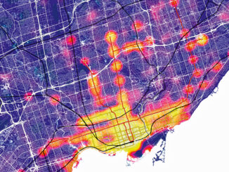
Accuracy and Precision [Part II]: Identify GIS Data Inconsistency: Examples From Toronto’s Open Data Portal

This article is the second part of the accuracy and precision series, which discusses data characteristics, examples of data inconsistency…

UAV Surveys – How to Ensure Accuracy and Precision

For the past four years, I’ve been involved with the capture and delivery of data derived from drones. My experience…

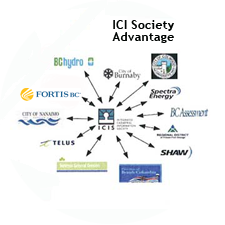
The Integrated Cadastral Information (ICI) Society and ParcelMap BC

This is the first of two articles on the release of ParcelMap BC Data, which we see as a significant…

Canadian flag

List of Canadian Geomatics Conferences and Events for 2017

This is our list Canadian geomatics conferences and events for 2017. Here you will find events pertaining to GIS, remote…

Nova Scotia Power Wins Esri Special Achievement in GIS Award

Enterprise implementation of geospatial platform transforms electric utility operations San Diego, CA, Esri International User Conference – Esri Canada congratulates…

PCI Geomatics Releases GXL 2015

PCI Geomatics, a world leading developer of remote sensing and photogrammetric software and systems, announced today the release of its…

Blue Marble Announces Featured Speakers for 2014 User Conference in Calgary

Blue Marble Geographics (bluemarblegeo.com) is pleased to announce the featured speakers for the 2014 Blue Marble User Conference (BMUC) to…

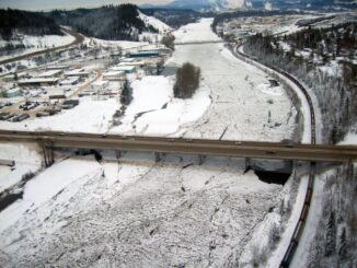
Lidar / GPS Terrain Modelling for Ice Jam Emergency Response

Prince George BC: Lidar / GPS Terrain Modelling for Ice Jam Emergency Response

Unprecedented ice jams led to extensive flooding in Prince George as temperatures dipped to record lows in the winter of…

Bonnie Lum: Trying to Find a GIS Job without a Map

I have always had an interest in maps.  Every time my family took a vacation, I was always the map…

GoGeomatics Awarded Contract: Maintenance of Canada’s Largest Enterprise GIS

‘Twas the week before Christmas and GoGeomatics has been called in to assist one of the largest non-profit clients in…