Community
GoGeomatics Social Leader Profile: Kirsti Oja, Edmonton
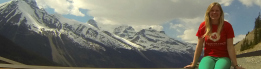
GoGeomatics Canada is pleased to welcome Kirsti Oja to the team as our newest Edmonton Social group leader. She’s coming in at an exciting time. After hosting our first Edmonton social in May, we’re going […]