SBEO
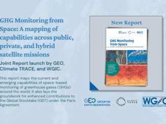
WGIC, GEO, and Climate TRACE release the GHG Monitoring from Space report at UNFCCC Earth Information Day
This report maps the current and emerging capabilities of space-based monitoring of greenhouse gases (GHGs) worldwide. It also lays the…
Spatial Finance, New Markets For Earth Observation Panel Discussion: Shaking up the EA Marketplace
This panel, which got a little “Spicy” as one senior Canadian government bureaucrat described it, closed out a great Day Two…
Updating Canada’s List of Geography, GIS, Remote Sensing, Cartography, Geomatics, Education Programs for 2021
GoGeomatics.ca holds the most comprehensive list of Canadian geography, geomatics, GIS, and remote sensing related education programs. This resource is…
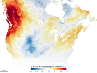
Canadian Geospatial Briefing July 5, 2021: Geospatial Applications for Indigenous Issues; Canadian Company Teledyne CARIS is Mapping the Seafloor; How SBEO is Helping Track Extreme Weather Events from Space; and Agriculture and Agri-Food Canada’s New Drought Forecast Tool
New Applications are Bringing Attention to Important Indigenous Issues June 2021 was a National Indigenous History Month like no other.…
ESA Advanced Training: Earth Observation & AI for Forestry
The European Space Agency (ESA) is organising an Advanced Training Course on Land Remote Sensing with the focus on Earth Observation and Artificial…
GeoIgnite Talk: “The Geospatial Product Trap,” SparkGeo’s CEO – Will Cadell
From Day One of the GeoIgnite 2021 conference comes one of the most engaging talks of the event from SparkGeo’s…
Canadian Space Agency announced a new funding opportunity
The Announcement of Opportunity is intended to address these issues by supporting the development of advanced space-based products and solutions aligned with…
2020’s Biggest Canadian Geospatial News — Canada in Space
2020 will be remembered by many as perhaps not the best year (and one we’d like to forget) — but…
Canadian Geospatial Briefing for January 18th: Scientists flag hotspots for protection; MNR releases solar potential tool; Transport Canada invests in its Aerial Surveillance Program; MDA is GeoIgnite Platinum Sponsor; CSA releases its first AO; NV5 Geospatial gains momentum in Canada
Scientists flag Rocky Mountains, Hudson Bay as hotspots for protection In 2017 an expert team was put together to advise…
GeoIgnite 2020 Video: Space-Based Earth Observation in Canada – A Vision for the Future, David Harper
GeoIgnite is Canada’s national geospatial conference hosted by GoGeomatics Canada. GeoIgnite was held online via Zoom from July 22nd to…