QGIS: Performing Viewshed Analysis on Archaeological Sites
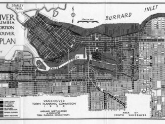
In 1927 a Vancouver bylaw was enacted that limited the height of buildings to a maximum of six stories in height over much of the West End of the city, as illustrated in the Zoning […]

In 1927 a Vancouver bylaw was enacted that limited the height of buildings to a maximum of six stories in height over much of the West End of the city, as illustrated in the Zoning […]

In my first article, I introduced the how and why I chose to attend COGS from the fall of 2014 to spring 2016. In Part 2, I wanted to give some insight into the first-year […]

GoGeomatics Canada has built a thriving geospatial community by creating networking opportunities for our participants. We achieve this by holding free informal monthly networking events at pubs across Canada. You can join us at any of these […]

GIScience Excellence Award Offered and adjudicated by the GIScience Study Group Annual nominations are due by midnight of 15 April The award will be presented at the Annual Meeting of the GIScience Study Group at […]

What About COGS The Centre of Geographic Sciences (COGS) is one of the best colleges in Canada for learning GIS. As a COGS graduate myself I am writing this article to help future students make […]

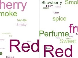
Editors note: In this previously published article, Karl Kliparchuk, BCIT GIS Program Head & Instructor uses GIS to explore the aromas and flavors of wine from British Columbia, Canada. We are breaking down BC wine […]

I often contemplate what it would have been like working at the same job for an entire career. Mind you, the thought of the same job day in and day out never appealed to me. I’m […]

Every weeknight, my mom and I watch Jeopardy together. Jeopardy always starts with the announcement of the contestants by their profession. Usually we hear about the doctors, the lawyers and the teachers on Jeopardy. But […]