technologies
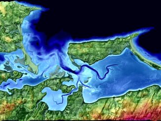
Feb 7-8: Two Day Workshop on High Resolution Mapping Along Coastal Zones
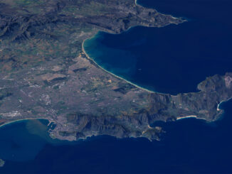
The coastal zone, that dynamic geographic region where the interaction of the sea and land occurs, is vital to the…
List of Canadian Geomatics Conferences and Events for 2017
This is our list Canadian geomatics conferences and events for 2017. Here you will find events pertaining to GIS, remote…
High Resolution Mapping Along the Coastal Zone: CIG & GANS Workshop 7 – 8 February 2017
The Geomatics Association of Nova Scotia (GANS) and the Canadian Institute of Geomatics (CIG) Nova Scotia Chapter would like to…
Planning an Enterprise GIS from the Bottom Up
You might be an observant professional in a department that uses GIS. Your organization may be large and have many…
Predicting the Future of the GIS in Canada
Editors note: This article has been jointly written by Bruce McCormack and Gordon Plunkett. Bios can be found at the…
Easy Access to Data: The CGDI Initiative
The Canadian Geospatial Data Infrastructure (CGDI) is an initiative of Natural Resources Canada that began in 2001. The CGDI does…
What are the Top Programming Languages in the GIS World?
Image source: www.tiobe.com Every now and again we hear about the importance of programming for Geographic Information Systems(GIS) professionals, that…
50 Years a Geographer: My Top Ten books about Geography
In celebration of Geography Week, it seemed like a good idea to issue a challenge: list the top ten books…
The Importance of Students & Young Professionals in Canada’s Geomatics Community
With the help of our sponsors GoGeomatics Canada is bringing students and young geospatial professionals together at 11 events from…
How Canadian Remote Sensing Was Made Commercially Successful & Exportable
This piece started as a note on some of my experience as an international consultant in remote sensing specifically and…
LiDAR in Canada: Conversation with Dr. Chris Hopkinson Research Chair Remote Sensing University of Lethbridge
The author Bob Maher (BM) and Chris Hopkinson (CH) both worked as scientists at the Appied Geomatics Reearch Group (AGRG)…
Seeing Through Wildfire Smoke in Fort McMurray, Alberta with Infrared Imaging
Images of the massive wildfire that engulfed Fort McMurray, Alberta earlier this year have been seared into our collective consciousness.…