
Education & Careers
My COGS GIS Education
What About COGS The Centre of Geographic Sciences (COGS) is one of the best colleges in Canada for learning GIS. As a COGS graduate myself I am writing this article to help future students make […]
What About COGS The Centre of Geographic Sciences (COGS) is one of the best colleges in Canada for learning GIS. As a COGS graduate myself I am writing this article to help future students make […]

Awareness for climate change has been steadily increasing ever since the Green Revolution in the 1960s. There is a plethora of data, maps, and Geographic Information Systems (GIS) applications available freely or accessible to the […]
Creating a new GIS from scratch is a tough undertaking. It involves a lot of innovation. Ecere, a Canadian company based in Gatineau, Québec has been developing a software platform that has positioned them to […]
The Community Maps Program (CMP) was introduced by Esri Canada in 2009 allowing organizations to share and host geographic data. The CMP is accessible to public and private organizations and web users. The platform for […]
More powerful, even more robust and interoperable, JMap 7 is now available JMap’s 7th version is finally here! K2 Geospatial, a leading map-based solution developer, is proud to announce the release of the newest version […]

The UBC Faculty of Forestry is excited to announce that the official approval of the Master of Geomatics for Environmental Management (MGEM) Program. We are now accepting applications and will welcome our first cohort in August, […]

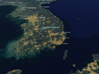
Every weeknight, my mom and I watch Jeopardy together. Jeopardy always starts with the announcement of the contestants by their profession. Usually we hear about the doctors, the lawyers and the teachers on Jeopardy. But […]
It is rare to learn of a GIS company in which much R&D is done up front to create the programming language used to build its tools. Ecere, a Canadian company based in Gatineau, Québec, […]