tort

Top Ten Climate Change Maps and GIS Applications

Awareness for climate change has been steadily increasing ever since the Green Revolution in the 1960s. There is a plethora…

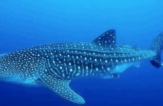
Marine Geomatics Primer: Using UUVs to Take Flight Underwater

Unmanned Underwater Vehicles One of the most interesting things to happen in regards to marine geomatics technology has been the…

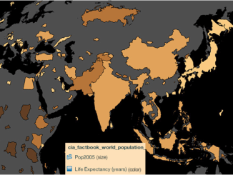
Using Colour Transparency to Map Election Results

As the 2016 United States presidential election careens towards its conclusion in November, GIS plays a prominent role in both planning…

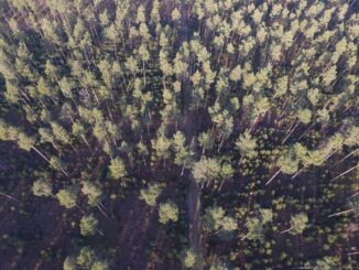
UAV Technology in the Canadian Forestry Sector

The Unmanned Aerial Vehicle (UAV) industry is soaring! Civilian drones are being applied in various global industries ranging from agriculture…

Map Tiles and Cached Map Services

  The tiling of large maps is an old practice. Large paper maps have always been divided into a series…

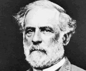
Robert E Lee

Gettysburg: What Could Lee See?

In an age devoid of modern communications methods and digital maps, military generals often made tactical decisions based on what…

Evaluation of the Service New Brunswick Geographic Data & Maps Section

Service New Brunswick  (SNB)  is serving up geospatial data to the community so lets have look at what they are…

Projections and Coordinate Systems for GIS: A new perspective on old ideas.

Projections and Coordinate Systems for GIS:  A new perspective on old ideas. (Or, GIS Professionals Should Consider That A Lot Of…

A GIS Postgraduate’s Journal – November 4, 2012

November 4, 2012 Officially two months into school now and the road is starting to seem long. I know my…

Brad Maguire: GIS Instructor at Vancouver Island University

GoGeomatics: Welcome to the GoGeomatics Canada community. First off, can you tell us about where you are from and where…