Newsmakers & Press Releases
EnerGIS 2017: Call for Papers & Scholarship Opportunities
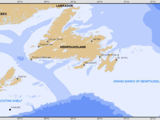
EnerGIS 2017 6/5/2017 to 6/6/2017 Suburban Pittsburgh, Pennsylvania. Join us for our 5th annual conference June 5th and 6th 2017! EnerGIS 2017 is an energy-focused Geographic Information Systems conference that brings together GIS professionals and […]