
world
2017 Annual Meeting of the Canadian Association of Geographers at York University
We invite scholars and professionals with geography-related interests to submit abstracts and special session proposals for the 2017 Annual Conference…

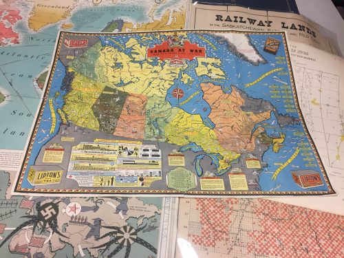
Operational GIS Jobs in the Canadian Military
Whether its businesses, governments or for personal use, Geomatics offers everyday solutions to the worlds questions. The Canadian Armed Forces…

It’s a Geospatial world we live in: Find Your Happy Place
When does a space become a place? There are a myriad of small open spaces and buildings throughout towns and…
GIS Day in Canada: Wednesday, November 16, 2016
Every year since 1999, the geospatial community has been celebrating GIS Day and this year it is on Wednesday, November…

QGIS & WorldClim: Using Zonal Statistics to Map Temperature Patterns
There has never been a time in the history of GIS when so much free, high quality data has been…
NB 911 Bureau Receives Esri Canada Award of Excellence in GIS
FREDERICTON, Esri Canada User Conference – October 25, 2016 – Esri Canada today presented the NB 911 Bureau, a branch…

Literary Peregrinations: Geographers as Explorers
While I was reading Andrea Wulf’s “The Invention of Nature. Alexander von Humboldt’s New World”. I noted a comment on…
MDA to deliver space-based SAR for broad-area maritime surveillance
Vancouver, BC – MacDonald, Dettwiler and Associates Ltd. (“MDA” or the “Company”) (TSX: MDA), a global communications and information company,…
Montreal: SimActive Offers Free Trial of UAV Software
Montreal, Canada, October 11th, 2016 – SimActive Inc., a world-leading developer of photogrammetry software, is pleased to announce a new…

Report for 450 Participants & Sponsors: 2016 GoGeomatics Canada Back to School Socials
Last month the Canadian geomatics community came together to celebrate the start of the new school year by welcoming new…

DigitalGlobe’s Basemap Suite Expands: 250 Million Square Kilometers of 30 cm Imagery
DigitalGlobe, Inc. (NYSE: DGI), the global leader in Earth imagery and information about our changing planet, today announced that its…

PCI Geomatics and PrecisionHawk Enter into Long Term Partnership
PCI Geomatics, a world leading developer of remote sensing and photogrammetric software and systems, announced today it has entered into…
