
Speaker Series: Local Mapping at Ottawa May Social
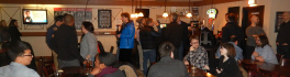
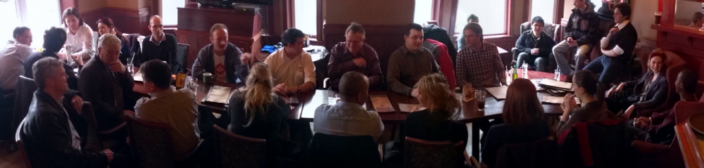
The Ottawa May GoGeomatics Social is happening Friday, May 29, 7:00PM in the basement of the James Street Pub. This month we’re excited to welcome guest speaker Richard Burcher, who will be telling the group about the local efforts of the Ottawa Openstreetmap meetup group, and Openstreemap in general.
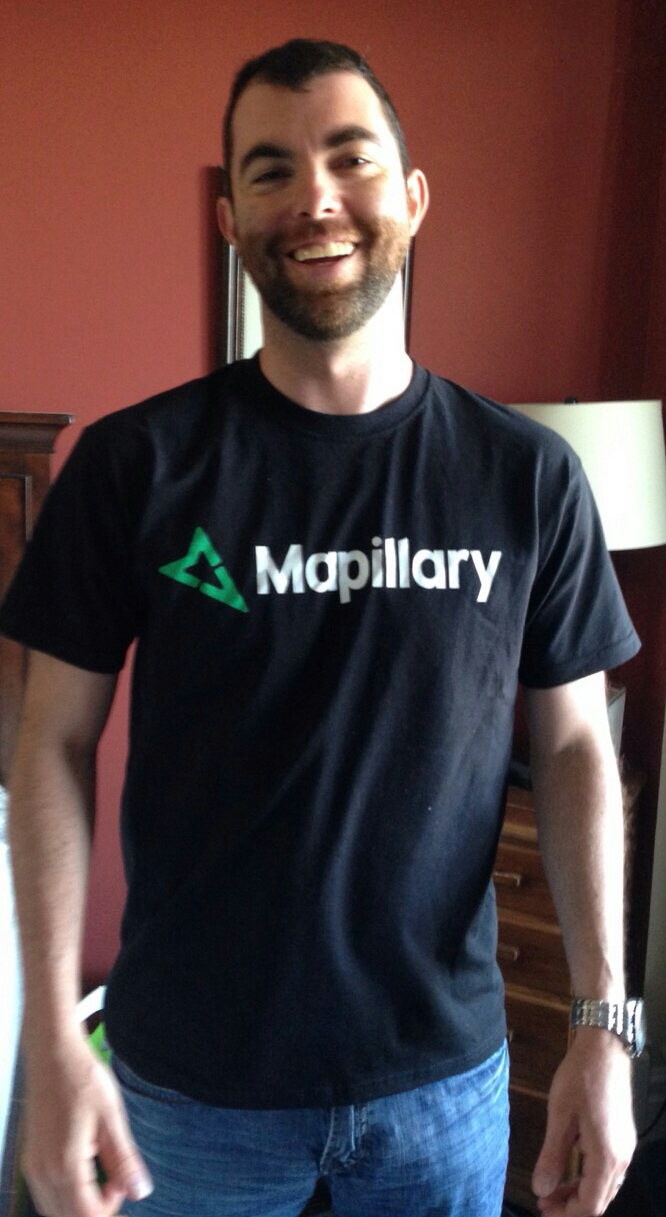
Come out to this free event to learn what Openstreetmap is, who’s using it (and why), and how you can get involved. Richard will be highlighting several activities of local mappers. In particular, he’ll be discussing their efforts with respect to building addressing by collecting street-level geotagged photos for Mapillary, to use the information when editing with Openstreetmap.
The Ottawa Openstreetmap group has been meeting monthly since 2013, and its members have a diverse range of interests from web based mapping to spatial analysis, and everything in between. Over this time, they’ve held several mapping parties and helped with humanitarian mapping with Typhoon Haiyan.
Richard Burcher has been involved with Opensource for the last seven years, and helped co-found the local Ottawa meetup group. He has operated his own consulting business for the last five years, providing a variety of technical and research services to various Federal Government Departments that leveraged Opensource and Opendata. He is currently engaged with the NRC.
We’re looking forward to hearing Richard’s perspective and welcoming the Openstreetmap group to our GoGeomatics networking social. GoGeomatics Socials are always free, and always a good time. It’s a casual way to learn about new projects and trends, network with others in the geospatial industry, and enjoy a night out. Join our Meetup Group to stay up-to-date with our monthly Ottawa social events.
Not in the Ottawa area? We have socials taking place every month in cities across Canada. Click here to find a social near you.


