
landslide
OGC Discusses The 2021 Disaster Pilot And What’s To Come
Plans To Improve Disaster Decision Making By Developing Standards-Based Services Open Geospatial Consortium (OGC) Senior Director, Trevor Taylor, spoke regarding…
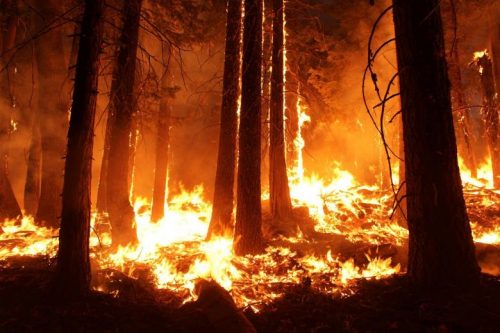
Sparkgeo uses geospatial technology to analyze water hazards caused by BC wildfires
Western Canadian wildfire season is quickly approaching. The increase in wildfire season length, wildfire frequency, and burned area makes it…
