
RADAR
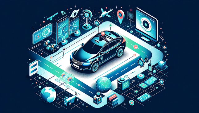
Geospatial Technology Guiding the Development of Autonomous Vehicles
Driver-less cars, also known as autonomous vehicles or self-driving cars, are vehicles that are equipped with sensors, cameras, and other…

Lidar CANEX 2023 Keynote Presentation by Dr. Tim Webster: Changes in Lidar Mapping Over the Past 20 Years
Lidar has come a long way in 20 years. Lidar CANEX Keynote presentation speaker, Dr. Tim Webster, PhD, of the…
How is MDA and the Government of Canada Addressing Illegal Fishing?
MDA and the Government of Canada are using advanced radar satellites to stop illegal fishing. Illegal and unregulated fishing accounts…

International Geospatial Briefing Aug 8: 1. Radar Sensing for Automotive and Wellness; 2. Webb Captures Cartwheel Galaxy Images; 3. NOAA Adds Census Tract Data to Climate Model Tool; 4. ArcGIS and Unreal Engine, Future of Constructions; 5. Spike Maps, New way to Visualize the Earth
Radar Sensing for Mobility, Wellness, and Holistic Smart City Bitsensing is South Korean startup that develops innovative radar sensing solutions…
DGT Combines Traditional and Advanced Technologies to advance Unground Mapping
Best practices come from using radar tomography to augment underground utility locating. SUMSF live stream on March 23, 2022, treated…
Detecting Land Deformation Related to Hydraulic Fracturing
Fracking in North America The link between hydraulic fracturing, or fracking, and earthquakes has been well-established in studies throughout North…
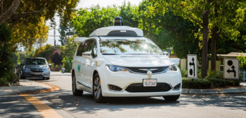
Self-driving Vehicles Are Closer Than They Appear
Waymo is a fully autonomous car created by Google. Waymo One is a ride-hailing service that is currently running in…

International Geospatial Briefing May 3: Growing problem of deepfake satellite images; Bird migration map shows huge influx into Michigan; Google Earth timelapse visualizes human footprint; Remote Sensing to study chimoanzees; Mapping of childhood undernutrition in India
False satellite images created by machine learning raise concerns about the reliability of data AI technologies has been used to…
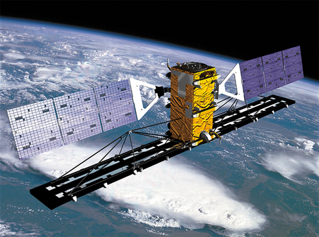
Hacking to liberate RADARSAT-1 data
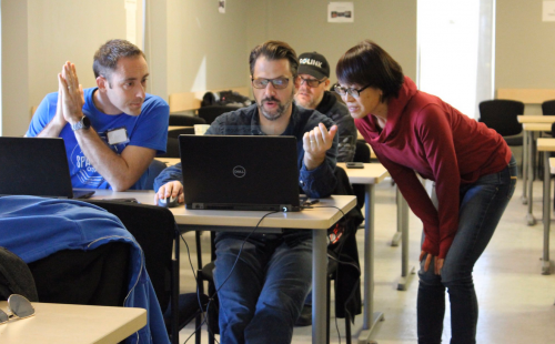
How four individuals came together at the recent Ottawa Space Apps Challenge to create intuitive access to the RADARSAT-1 Catalog…

Interview with Brigitte Leblon faculty member with UNB
I was very fortunate to get the opportunity to have a conversation with Brigitte Leblon who is a faculty member…
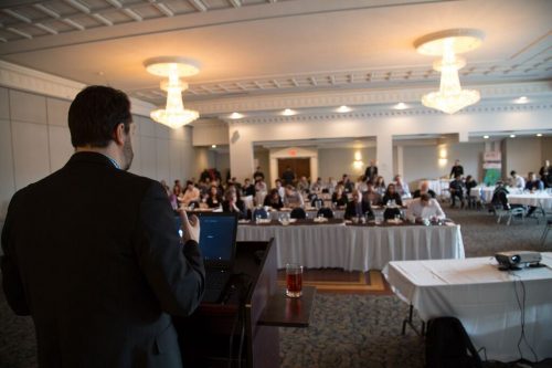
PCI Geomatics presents free user group meeting on June 17th, 2019, from 1pm-5pm in Ottawa
PCI Geomatics is pleased to announce that we are hosting a free user group meeting on June 17th, 2019, from…

Google Earth Engine – What is a Data Cube and Why Canadians Should Care
What is a data cube and how is it used for big data analytics? How does a data cube work…
