Newsmakers & Press Releases
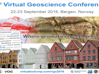
Conference: Where Geomatics Meets GeoScience
With now only one month to go until the 2nd Virtual Geoscience Conference (VGC 2016) takes place in Bergen, Norway, updated details of the event and programme have been released. VGC 2016 is a forum […]