Technology
Past, Present and Future of Marine Navigation
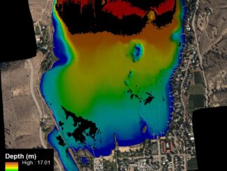
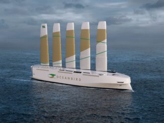
I have often wondered how marine navigation works on a roadless map of open seas and oceans. Let’s dive into the intriguing story of marine navigation by looking at the history, modern marine navigation using […]