A Mini But Mighty GNSS Mapping Peripheral
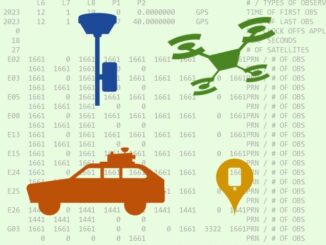
Took a Bad Elf Flex Mini for a test drive. Had a lot of fun with this affordable, capable, and very easy-to-use asset/GIS mapping peripheral. In keeping with their focus on providing tiered solutions for […]
There is an art to delivering a rapid and effective pitch; for your project, product, or paper. Participants in the “Fast Pitches” session of the recent GoGeomatics Expo demonstrated such skills splendidly. The GoGeomatics Expo, […]
Whether it is for mobile mapping, drone work, asset mapping or surveying static campaigns, taking steps early in the process a confirm the availability, completeness, and quality of the base files you intend to use […]
How an engineering software development firm tackled one of the key challenges facing CAD-to-GIS conversion intiatives. In theory, harvesting features from engineering drawings to populate and augment GIS should be a fairly straight forward proposition. […]
GEOMATICS ● SURVEYING ● EARTH OBSERVATION ● REALITY CAPTURE & DIGITAL TWINS REMOTE SENSING ● BIM & GIS ● REALITY CAPTURE & DIGITAL TWINS EDUCATION ● LEADERSHIP ● GOVERNMENT I’m excited to be part of […]
Finalists for the 2023 awards have been announced, and it’s time to highlight a few of our “hot picks”… The Year in Infrastructure – Going Digital Awards selects finalists from global nominations for categories representing […]
Founded at a time when laser scanning was just catching on in the region, and with new scanning systems launched, a Brazilian surveying firm expanded rapidly. Bruno Mathias de Oliveira began his career as a […]
Surveying is not a game. However, a game-like virtual environment could be a valuable tool for training, site safety, planning, project management, and more. I do not think I am alone in feeling a little […]