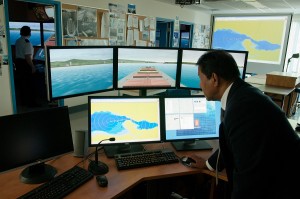
The BCIT GIS department is undertaking a needs assessment to determine the feasibility of offering an Advanced Certificate in GIS targeted to individuals who already have a professional degree and career. This Advanced Certificate could meet the ongoing educational credits required by professionals in various government and private sector organizations. It would allow you to broaden their existing skill set and make use of newer mapping technologies. The proposed Certificate would be taken through online courses so would be available to anyone anywhere.

The Association for Geographic Information in their AGI Foresight Report 2020 reviewed what they believe will have a significant impact on our economy, environment and society over the next five years. They indicate “… an increase in data volumes and availability of real time data feeds, as well as the increasing levels of accuracy and data resolution from high volume data sources such as LiDAR and Point Cloud applications are all factors impacting not only the realm of the geospatial industry, but the wider industry as well.…This has to be one of the biggest latent and untapped opportunities for the geospatial industry. Not maps, not 3D – but recognising the latent possibilities of data and the value-add services that we can and should deliver from it. What a phenomenal opportunity for not only our industry, but other industries as well. Location intelligence can, and indeed should, become absolutely critical – the foundation on which our business decisions are made. But for this to happen, we need to open up our industry and make it more accessible, better understood and less exclusive…” www.agi.org.uk/news/foresight-report 
Please click on our survey button to answer our short survey about the Advanced Certificate in GIS for industry professionals. The survey closes Jan 17. Thank you so much for your help.


Be the first to comment