GeoIgnite 2020 Video: Statistics Canada DEIL experiments and outputs with open geospatial data
GeoIgnite is Canada’s National Geospatial conference hosted by GoGeomatics Canada. GeoIgnite was held online using Zoom from July 22nd to 24th, 2020. This event showcased Canadian geospatial community and leaders of Canada’s location technology sector. The conference brought together professionals from government and industry for innovative programming and updates on our sector. Every year GeoIgnite is a unique opportunity for the geospatial community in Canada and abroad to learn, share, and engage with one another at our virtual conference.
DEIL experiments and outputs with open geospatial data, 24 July 2020
Speakers from Statistics Canada:
Alessandro Alasia, Assistant Director
Marina Smailes, Geospatial Analyst
Joseph Kuchar, DEIL member
Ala’a Al-Habashna, Researcher
Nick Newstead, Economist
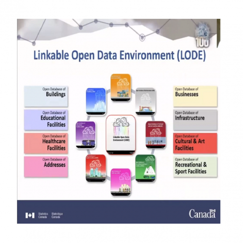
The Data Exploration and Integration Lab (DEIL) at Statistics Canada has implemented a number of projects using, to the extent possible, open georeferenced data and open source tools. This presentation outlined some of this work. The speakers presented the recent developments of the Linkable Open Data Environment (LODE), examples of the use of LODE data, the development of a Proximity Measures Database and Data Viewer, and an R&D project using street view imagery to enhance the attributes of an open database.
Statistics Canada‘s discussion was great. The speakers were engaged and knowledgeable. It seemed that attendees were very interested in this topic as they asked many questions and most of them were answered well at the end of the presentation.
Watch the recorded presentation and Q&A section here!


