The Canadian Council on Geomatics (CCOG) has been around for over 40 years. Despite that, many people in geomatics aren’t aware of the significant role this federal-provincial-territorial government organization plays in the sector. To help get a better understanding, GoGeomatics got in touch with Andy Calarco, who is the Chair of CCOG this year, and the Director of GeoBC at the British Columbia Ministry of Forests, Lands and Natural Resource Operations. We hope that the following profile will give our readers a better understanding of this Canadian Geomatics organization.
GoGeomatics: What is the main goal of CCOG?
Andy Calarco: CCOG facilitates intergovernmental collaboration and cooperation on geospatial data sharing, the setting of common geographical data standards and the sharing of costs for core national datasets.
GoGeomatics: CCOG is a federal-provincial-territorial organization. How has this inter-jurisdiction structure helped you reach your goals?
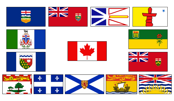
Andy Calarco: The CCOG functions on the principle of collaboration and cost-sharing between federal, provincial and territorial governments. CCOG work has resulted in core, nationally standardized data sets and a reduction of duplication between governments, often at substantial cost savings. This inter-jurisdictional collaboration has also resulted in one of the world’s first examples of open data, which is now available on the federal government’s open data website at data.gc.ca. These data are used in applications for agriculture, natural resource development, transportation, environmental assessment, land claims, boundary discussions, and emergency management.
GoGeomatics: The Canadian Council on Geomatics was created in 1972. How has it evolved since its creation?
Andy Calarco: Like the mapping industry as a whole, CCOG has evolved significantly over its forty year history. Traditionally, CCOG was primarily a vehicle for sharing information among Surveyors General from different Canadian jurisdictions. While Surveyors General remain actively engaged, notably on the CCOG Cadastral and Geodetic Capacity working groups, the advent of new technologies and the growing importance of earth observation finds reflection in CCOG’s changing membership and in the increasing scope of its areas of interest.
GoGeomatics How is the CCOG membership structured, who is in charge and what is your role?
Andy Calarco: CCOG members represent federal, provincial and territorial governments’ major geomatics organizations (responsible for the provision, standardization and co-ordination of geospatially referenced data). The Chair of the CCOG rotates between jurisdictions. At each year’s Annual General Meeting the Chair is handed to the principal delegate from the jurisdiction that will host the following year’s AGM. In early of October this year, Nova Scotia finished its term and passed the Chair on to British Columbia.
The CCOG is truly a collaborative governance body. The CCOG operates under a formal Terms of Reference and is supported by a Secretariat housed at Natural Resources Canada. The Chair of the CCOG works closely with the Secretariat to achieve the aims of the CCOG as defined in the Terms of Reference and in the work plan defined annually at the AGM.
The principal federal government delegate as designated by the Minister of Natural Resources Canada is the Director General of the Canada Centre for Mapping and Earth Observation. In addition, representatives from several other federal departments also actively participate on the CCOG. These include: Agriculture and Agri-Food Canada, the Canadian Space Agency, Environment Canada, Department of Fisheries and Oceans (Canadian Hydrographic Service), Department of National Defence, and Statistics Canada.
GoGeomatics: How often do CCOG members meet?
Andy Calarco: The CCOG meets holds an Annual General Meeting – usually in the autumn of each year. CCOG members most recently met in Halifax, Nova Scotia, October 2-3 for the 2014 AGM. In addition to annual meetings, CCOG members meet by teleconference every month. Working groups or sub-committees also meet by teleconference throughout the year as required to meet their work objectives.
GoGeomatics: What issues is the CCOG discussing today?
Andy Calarco: Changes in government policy and technological advancements are creating challenges for traditional geomatics business models. This creates opportunities for geomatics agencies at all levels of government to work together, explore synergies and avoid duplication.
Additionally, rapidly evolving technology presents significant potential for the use of geospatial data by a much larger group of stakeholders than has been possible at any point in the past. The challenge to the geomatics sector, and certainly to the CCOG, is in discovering how best to interface with the growing number of non-traditional users in a way that is authentic and meaningful.
GoGeomatics: Why is the work of the CCOG important in today’s geomatics climate?
Andy Calarco: The growth of the internet and the rise of smart phones with “mapping applications” have increased the use of geography in everyday decision making. To effectively use maps, the underlying data and information must be easy to acquire, access, integrate, analyze and distribute. These foundational data come from different sources (satellites, unmanned aerial vehicles, aircraft, in situ land and sea based sensors, handheld devices) which are managed by different providers, and have a requirement to be shared over the internet. Because of this, there is a need to collaborate across jurisdictions to ensure Canadians have access to high quality geospatial data and products.
GoGeomatics: What does the future hold for CCOG?
Andy Calarco: Geomatics data come from many sources – airborne platforms, space, terrestrial, marine, etc. The diversity and volume of data now available poses additional challenges. These include policy considerations around protecting individual privacy, and technical issues around the storage, manipulation, and currency of these “big data.” The interoperability of these data as well as complementarity of infrastructure investment make up the Canadian Geospatial Data Infrastructure that also includes broadband connectivity, desktop and handheld devices interoperability, governed by framework geospatial policies and standards.
CCOG is beginning to address the larger philosophical question of how to facilitate use of geomatics by non-traditional users. We envision a future where geomatics specialists can help to remove technical barriers to entry and encourage the application and exploitation of geomatics information and products by a larger group of non-traditional users.
For more information on CCOG, visit their website at www.ccog-cocg.ca


Be the first to comment