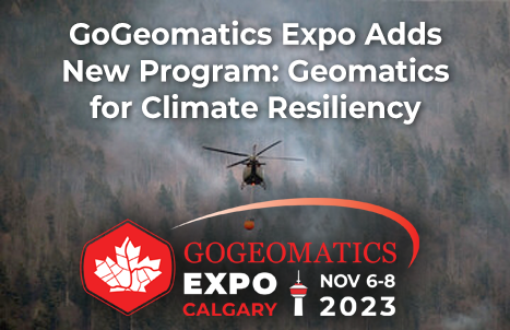
In recognition of the pressing global environmental challenges we face today, the Expo has added a new program to highlight how geomatics theories and technologies are being applied to combat climate change, wild fires and more. Geomatics play a pivotal role in understanding and addressing this important issue.
This program will take place in the GeoIgnite Career Fair on November 7th. This part of the expo program is free and open to the public, and since the environment is something that applies to everyone, we wanted to make it accessible to all. Join us in harnessing the power of geospatial data to make a difference in the world and secure a sustainable future for all.
Geomatics for Climate Resiliency

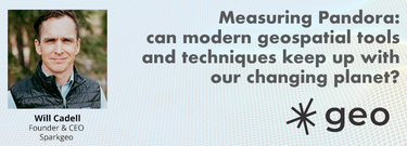
Is change the new normal? Every year seems to be the next warmest year. Those of us looking back at our planet from space are seeing these changes across our planet in near real-time through the eyes of satellites. But behind those pixels are real human stories of catastrophe and suffering. So, with all our constellations of satellites, massive computing power and new generative AI algorithms, can we do anything more than simply report what happened? What does the future hold for geospatial technology, and can our technology catch up with the rate of our changing planet?
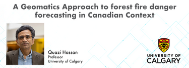
A Geomatics Approach to Forest Fire Danger Forecasting in Canadian Context | Quasi Hassan
At the Earth Observation for the Environment Laboratory in The University of Calgary, we have been conducting research in developing remote sensing-based forecasting system for forest fire danger conditions since 2009. In the scope of this presentation, the chronology of such developments at daily, 4-day, and 8-day time scales will be discussed. We believe that these would be critical for managing forest fire regimes in Canada and elsewhere in the world.
Building a Geospatial Sensor Web for Mitigating Global Climate Change | Dr. Steve Liang

Addressing the escalating levels of methane in the Earth’s atmosphere is among the most urgent issues humanity faces. One of the most impactful methods for mitigating methane emissions involves the prompt detection and repair of methane leaks. Achieving effective and efficient leak detection requires a geospatial sensor web approach. This approach entails combining the multi-scale and multi-modal methane observations from disparate sensing systems into a unified system of systems.
LiDAR for Post Wildfire Mapping Applications | Kenneth Ang

Canada has just experienced a record wildfire season with devastating impacts. Public safety and damage mitigation is a priority for all impacted by these disasters. From mapping vegetation, analyzing slope stability, planning fire breaks, qualitfiying wood debris and fuel loads, how does LiDAR play a role in meeting post wildfire needs?


Be the first to comment