With the ocean covering a whopping 71% of the Earth’s surface, the ocean floor is largely unexplored. The benefits of knowing the landscape and contours of the ocean floor impact many different fields of study, including scientific and economic areas. The ocean floor can be explored in many different ways, with SONAR and sensors being used and tested in devices such as buoys and drifter systems.
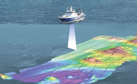
SONAR is a method used to navigate or detect objects under the surface of the water. Many vessels, ships and boats use SONAR to detect a safe path to travel through. SONAR is very beneficial for navigation purposes because the SONAR image produces the contoured image, which shows everything between the highest and lowest points of the ocean floor.
I’m sure we’ve all come across those early morning television shows about tuna fishing in the Atlantic, and you may have noticed a little screen on the boat showing where the fish are. SONAR can also be used as an economic tool because it can detect mass amounts of fish. It is widely used by small and commercial fishing vessels.
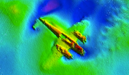
Archeologists and Governments also use SONAR to locate ship and plane wrecks under the water’s surface that have yet to be explored. An example of this would be locating missing flights, finding lost World War II planes, or more recently, with the discovery of one the Franklin Expedition ships.
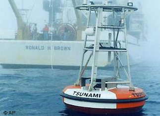
The scientific benefits of knowing the underwater landscape are extensive. One of the most recent research projects involves the use of buoy and drifter systems located on the ocean floor and under the surface of the water to help determine when a tsunami or earthquake are inevitable. The data collected from the projects can help research facilities quicker detect when a natural disaster is imminent, which aids the general public in providing a quicker evacuation from affected areas.
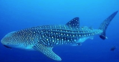
SONAR is also used for tracking tagged marine species to follow migration patterns, helping researchers to put together a picture of the species’ lives. An example of the marine research is with whale sharks. As the species becomes more endangered, scientists are riveted by the long migration patterns made by whale sharks in an effort to better understand the species.
With new technologies constantly being invented, the land under water will continue to be explored in an effort to create a full picture of what the underwater landscape looks like.


Be the first to comment