2021
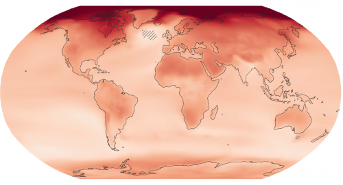
New interactive atlas paints a picture of how climate change will impact the globe and what this means for Canada
The latest Intergovernmental Panel on Climate Change (IPCC) sixth assessment report warns about the future of our planet under the…
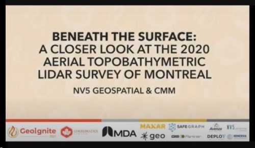
GeoIgnite Talk On YouTube: A closer look at the NV5 Geospatial 2020 aerial topobathymetric lidar survey of Montreal
In case you missed it GoGeomatics is highlighting one of the most interesting talks from GeoIgnite from this past April.…
Nominations open for Service to Ontario Geography Award 2021
CAGONT stands for the Canadian Association of Geographers Ontario Division. The purpose of CAGONT is to support the objectives of…
Measuring Access to Services: International and Canadian Experiences in Rural Analysis
The growth of open geospatial data and tools provides new opportunities to map accessibility to services for rural and remote…
Spatial Finance, New Markets For Earth Observation Panel Discussion: Shaking up the EA Marketplace
This panel, which got a little “Spicy” as one senior Canadian government bureaucrat described it, closed out a great Day Two…
Canadian Geospatial Briefing Sept 20th: Interactive Election Map; MDA awarded with contract for Martian Moons Exploration with Japan Aerospace Exploration Agency; Geomatics Instructor at BCIT uses Drone to Display Elevation Changes at Construction Site; Looking at Foot Traffic in the Downtown Core of Major Canadian Cities Compared to Pre-Pandemic Levels; Apple Maps using Special Backpacks to Gather Data for Look Around Feature
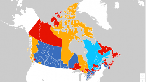
Interactive: How Canadians voted in the past 7 federal elections With the federal elections coming up on September 20th, Esri…
Searching for BCIT GIS Practicum & Project Sponsors 2021/2022
What is the sponsorship program about? Mike Hill, the GIS Program Head of BCIT, is searching for potential partners to…
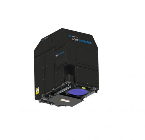
New Teledyne Geospatial combines world-leading expertise of CARIS & Optech to deliver comprehensive solutions for land and sea
Vaughan, Ontario, CANADA – September 14, 2021 – Teledyne announces the launch of a geospatial group with the unification of its…
In Canada EQ Partners with SafeGraph: Building Footprints and POI data
EQ Inc. , a leader in geospatial data and artificial intelligence driven software, is pleased to announce that it has…
$200 Million Fund Available for the growth of innovative Geospatial companies
This August saw the creation of the Trimble Ventures, a venture fund focused on investing in early and growth-stage innovative…
The 2021 Canadian Open Data Summit (CODS) Sept 15-16 Online
The Canadian Open Data Summit is back! Hosted this year virtually and bilingually by the Ville de Montréal and the Gouvernement du Québec! Since 2013, the Summit has…
Updating Canada’s List of Geography, GIS, Remote Sensing, Cartography, Geomatics, Education Programs for 2021
GoGeomatics.ca holds the most comprehensive list of Canadian geography, geomatics, GIS, and remote sensing related education programs. This resource is…


