aerial mapping
International Geospatial Digest February 27th, 2023
1. TuneIn Explorer: How To Discover Local Radio Stations On A World Map 2. Satellite data reveals long-term drought conditions…
Geo Week 2023 – Cool Stuff!
The Geo Week exhibition and conference, held in Denver Colorado, February 13-15, attracted 3,000 attendees from over 50 countries. And…
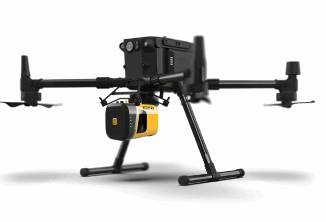
Adopting a LiDAR System for a UAS Geospatial Program?
With the exponential growth of the Unmanned Aerial System (UAS) industry in the last decade, the geospatial community has greatly…
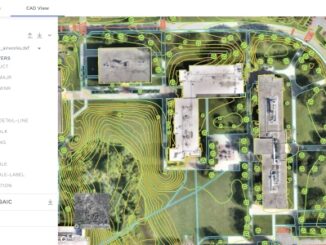
Easing the Aerial-to-CAD Bottleneck
Data capture is getting easier and faster, but the subsequent step of CAD linework generation is a bottleneck, and even…
Global Sustainability’s Importance Explained by Geospatial World CEO, Sanjay Kumar
The Importance of Geospatial Knowledge to Sustainability “Sustainability is everything.” The March 3, 2022, livestream for the GeoIgnite 2022, Winter…
Renewed Interest in Manned Aerial Mapping
Despite a boom in the use of small unmanned aerial systems for surveying and mapping, manned systems have seen growth.…